

Do I need a survey?
Unsure whether you need a survey?
Take our quick quiz to find out if your project needs a survey.
The importance of accurate quarry surveys
Active quarries need to be surveyed regularly for development and planning. Volumetric aggregate surveys report on material and stockpile volumes, while site surveys can support long-term quarry planning.
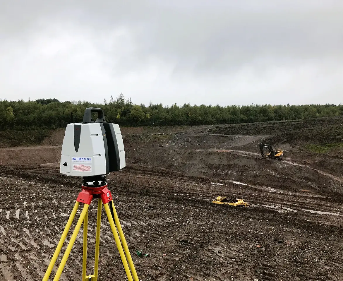
Our quarry surveyors use modern equipment to collect data across large sites that may be inaccessible or unsafe. This enables them to overcome health and safety challenges to provide cost-effective and accurate surveys.
Their survey work includes collecting detailed ground data, measuring all of a site’s features. The quarry survey reports can be provided in 2D or 3D formats. We can also share our data collection in different file types, including CAD, so you can make the best use of them.

Tailored volumetric and survey work
We’ve worked with a mixture of small and large quarries over many years and understand the challenges quarries face. Our surveyors visit various quarry sites regularly, so we believe it’s important to build good, long-term relationships. Accuracy is crucial due to its impact on quarry costs, so we tailor our reports to individual client needs.
Why choose Cheshire Surveys
We provide a range of surveys and related services across the North West, Cheshire, North Staffordshire and North Wales.

Passion & technical expertise

25+ years experience

Quality services tailored to your project

Meet our team on site
What surveys could you need?
 As-Built Surveys
A fully up-to-date record of what has just been constructed, ensuring it matches the proposed plans. Useful for producing further plans that require an accurate site layout.
Setting Out
Geocordinated setting out services for building groundworks and steelworks for new housing, commercial and industrial sites.
Topographical Surveys
Accurate, scaled plan of a site’s terrain, and a record of the position and levels of both manmade and natural features.
Volumetric Surveys & Terrain Models
Measuring the total amount of stockpiled, extracted or collected materials and aggregates. Suitable for construction, calculating and auditing.
Why might you need a survey?
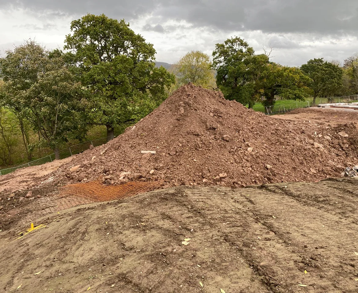
Standard volume surveys of material stockpiles or holes in the ground help you check stock amounts easily. They also help with audits and cost calculations.
Topographical surveys can be used for digital terrain modelling to create full 3D site surveys. They offer precise terrain measurements and a clear overview of your quarry and materials on site. These models can help you to plan more efficient quarry operations, redesigning levels to achieve zero waste. They can also aid cost calculations and timelines.
Machine control systems enable easier, more accurate and more efficient excavation. Our surveys can be provided in a range of formats. They enable modelling of proposed groundworks to be programmed into a digger for the driver to follow for site preparations.
Monitoring surveys track any level changes. They can check whether quarrying activity is affecting ground levels or unstable areas. You can use these quarry surveys to identify potential risks or unstable areas.
Explore by project


Our quarry projects
Project examples and costs
Annual site survey
We provide a clay quarry with an annual site survey. Our topographical surveying work supports their annual reporting to the Environment Agency. Our surveyors’ work helps with compliance as part of the quarry’s environmental permit conditions.
Estimated cost: £3000.00 + VAT per annum
New quarry ground monitoring
Our team monitored the land for the site of a new sand quarry. We carried out ground monitoring surveys before development started and once operations began. This ground monitoring enabled us to record whether changes to the water table caused any ground level movements.
Estimated cost: £5000.00 per annum
Port stockpile surveys
We supported a quarrying company’s annual auditing. We visited three different ports owned by the company and provided accurate measurements of stockpiles of excavated material.
Estimated cost: £4000.00 + VAT per annum
Speak to our experts
Get free advice or a quote from our experienced team.
We’re known for our reliable, quality service and attention to detail.
What are the benefits of quarry surveys?
Quarry surveys help to increase the safety and efficiency of your quarry operations. By understanding the exact amount of materials available, you can improve extraction schedules. This helps reduce waste and ensures a steady supply of materials.
Accurate topographic mapping and volumetric quarry surveys offer essential site details. They help you to plan extraction phases, so you can extract materials in the most efficient way. You can estimate material volumes and predict costs more precisely.
Our surveys include data and reports that you can use for your records. This can support safety plans and regulatory compliance. It helps you communicate plans to various stakeholders and demonstrate responsible quarrying operations.
With the right quarry surveys, you can improve budgeting and cost control. You can reduce errors and the risk of financial overruns. You’ll be able to operate with greater efficiency and more timely schedules.
How we work
 Step 01
Request a quote
We’ll need your project’s address and a site plan. We’ll then get in touch for a consultation to confirm site details and understand exactly what your project needs.
 Step 02
Quote accepted
Once your project is confirmed with us, we’ll arrange a convenient date for your survey.
 Step 03
We complete your survey
We’ll visit your project site to carry out the survey. We can meet you on site if needed. We will then process the survey data and create a survey drawing.
 Step 04
Receive your survey
We’ll share the survey data with you, usually within a few days. We use industry standard file types and can issue all the drawings in multiple formats.


