

Do I need a survey?
Unsure whether you need a survey?
Take our quick quiz to find out if your project needs a survey.
The importance of farm mapping
As a farmer you’re always planning ahead. You may be thinking of selling part of your holding, redeveloping some farm buildings, constructing new ones or diversifying your business. Whatever your next project is, farm mapping services are essential. Understanding your farm’s existing site conditions early will enable you to make better strategic decisions.
Sometimes an Ordnance Survey plan can be used for recording the extent of a landholding, but we can help when you require a more accurate measured survey.
Our surveys can help to clarify your farm’s boundaries and land ownership, as well as supporting any new buildings, infrastructure and utility planning. Farm land survey information can also assist you with better management and maintenance planning for the estate’s natural environment, including field parcels and woodland.

We help you make the most of your farm
Redevelopment or renovation plans will require detailed measurements of your farm’s existing structures and land features. We provide accurate property dimensions and a measured survey to give you precise data on the layout, size and features of buildings, like your farmhouse, milking parlours or barns.
High quality farm plans can help to fulfil any legal and regulatory compliance. They also provide up-to-date records for property valuation, insurance purposes, and investment decisions. With detailed, accurate data you can create business plans and design in accordance with the local authorities planning policies.
For other specialist reports we work with a number of partners who can provide complementary specialist services. These range from conservation and biodiversity services to GPR surveys and below ground drainage or mains utilities surveys.
Why choose Cheshire Surveys
We provide a range of surveys and related services across the North West, Cheshire, North Staffordshire and North Wales.

Passion & technical expertise

25+ years experience

Quality services tailored to your project

Meet our team on site
What surveys could you need?
 As-Built Surveys
A fully up-to-date record of what has just been constructed, ensuring it matches the proposed plans. Useful for producing further plans that require an accurate site layout.
Floor Level Surveys
Quality survey check for various floor construction stages, from existing floors to newly constructed slabs.
Garden Surveys
Highly detailed, specialist topographical survey for garden landscaping and redesigns.
GPS Surveys
Ideal for covering large open spaces, like fields, or where access may be restricted or challenging.
Measured Building Surveys
3D site survey of a building’s layout and structure that can also be used to produce floor plans, elevations and cross-section drawings.
River & Floodplain Surveys
Surveys of riverbanks and beds, as well as adjacent floodplains. We record water levels and significant features for flood risk assessments and erosion monitoring.
Road Surveys
Comprehensive record of current road layouts and levels, including kerbs, street furniture and road markings. Ideal for visibility splays and new highways designs.
Setting Out
Geocordinated setting out services for building groundworks and steelworks for new housing, commercial and industrial sites.
Surveys for Land Registry Title Plans
Site surveys for creating Land Registry compliant plans to record areas of sale, transfer, correction or first registration.
Topographical Surveys
Accurate, scaled plan of a site’s terrain, and a record of the position and levels of both manmade and natural features.
Volumetric Surveys & Terrain Models
Measuring the total amount of stockpiled, extracted or collected materials and aggregates. Suitable for construction, calculating and auditing.
Why might you need a survey?
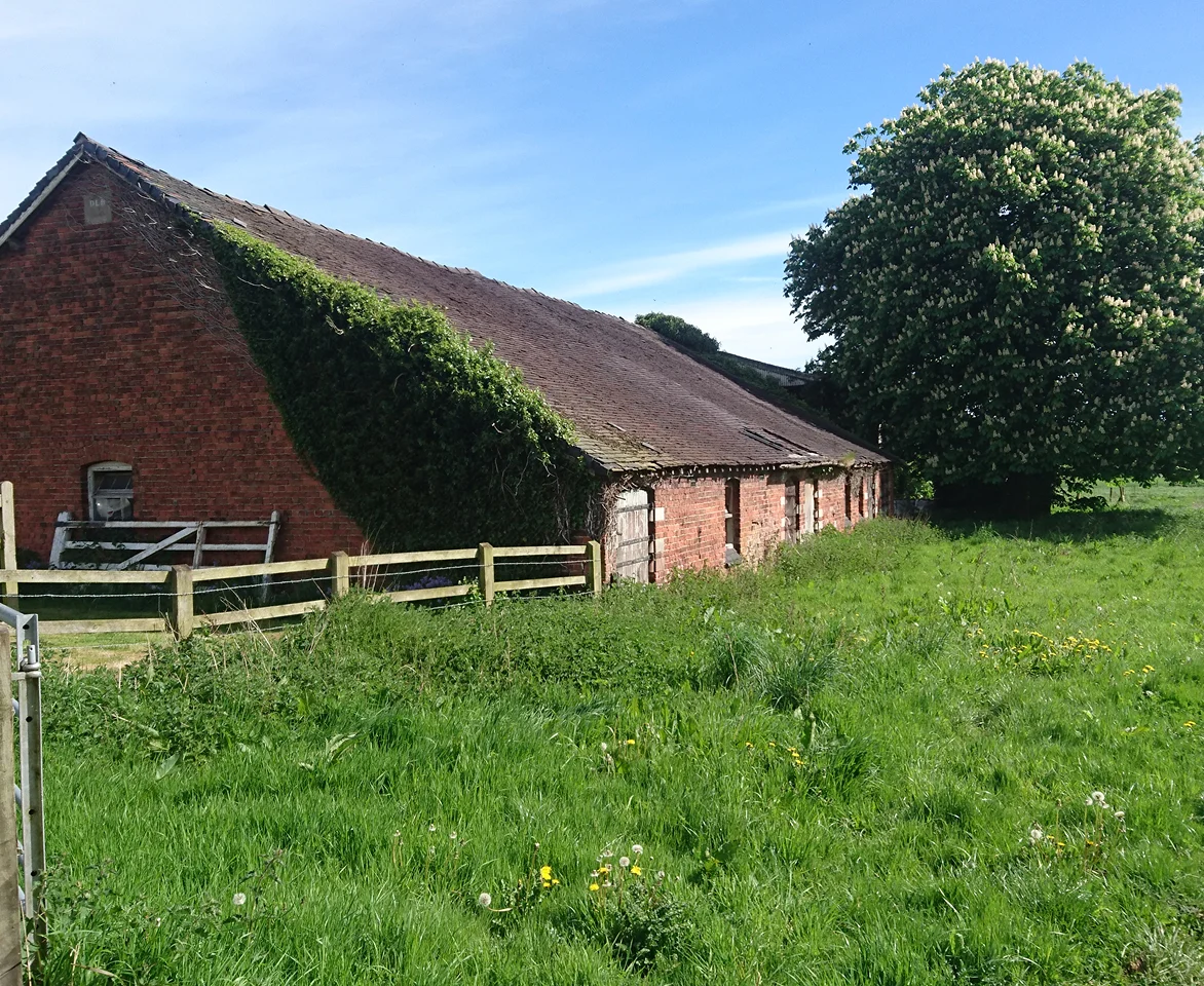
Derelict or abandoned farm buildings can be ripe for redevelopment and your starting point will usually be a full measured survey. This will provide floor plans, elevations, cross sections and roof plans of the existing structure.
These elements are especially important if your buildings are listed and/or of historic importance. Historic buildings often have non-standard layouts and unusual features, which can be recorded in detail. A structural engineer and your architect can use this to check if reinstatements or a conversion are possible. Then, they can also use the information to design the new plans.
Expanding on your farm can open up a lot of opportunities. From a new storage unit right through to large-scale expansion, like a rotating milking parlour or large open-sided livestock barns, we can help you make the right decisions.
Before you start any development, it’s important to know the land levels on your farm. You should also be aware of any features of that land. A topographical survey will provide the measured data for any new construction and supports more strategic land development. This can be used for the successful design of a new structure, as well as the setting out and construction stages.
You may be planning to diversify into other activities at your farm such as agricultural tourism, a cafe or shop, or renewable energy production. This can involve constructing new buildings or converting old ones.
First, you will need to assess the feasibility of your proposals and obtain planning permission. For newly proposed developments, we can support you with a topographical survey of the land. If you’re thinking of converting farm buildings or barns, our measured surveys will support the planning application process.
These surveys provide your design team with the measured data they need. This helps them create designs that meet your needs, look good and fit in with your farm’s surroundings.
If your farm covers a large area of land, it’s important to accurately identify field boundaries. This can help prevent disputes with neighbouring landowners and more effective management of your ditches, hedgerows and dividing fences. Farm boundary map surveys are also useful for land sales, leases or subdivisions within your farm.
We can support your or your land agent with producing the plans to support the Land Registry process. This will make sure the new ownership details are registered correctly. It will also provide an accurate record of what is being sold or leased.


Farm mapping services
Project examples and costs
New dairy facilities
We completed a topographical survey of a field to inform the design of two new buildings for a dairy farm in Cheshire: a large high-welfare open barn for cattle and a rotating milking parlour. We then provided site setting out services to the construction company to ensure the new structures were located as designed.
Estimated cost: £3000.00 + VAT
New barns
A new steel barn for grain storage was planned for a farm in Staffordshire, and we provided setting out services. This involved setting out the position of the holding down bolts for the new structure and assisting with the concrete pour to position the bolt boxes. These are a recess in concrete foundations or structures, which are designed to house the anchor bolts that secure the new steel column. This ensured the planned design was positioned accurately on the ground.
Estimated cost: £750.00+ VAT
Listed & historic building restoration work
In South Cheshire we carried out a measured building survey of a listed farmhouse and derelict barns around a courtyard. This provided the client with floor plans, elevations and cross sections of each structure. These were used as part of the preparations to redevelop the buildings into residential units.
Estimated cost: £4500.00
Speak to our experts
Get free advice or a quote from our experienced team.
We’re known for our reliable, quality service and attention to detail.
What are the benefits of farm mapping and land surveys?
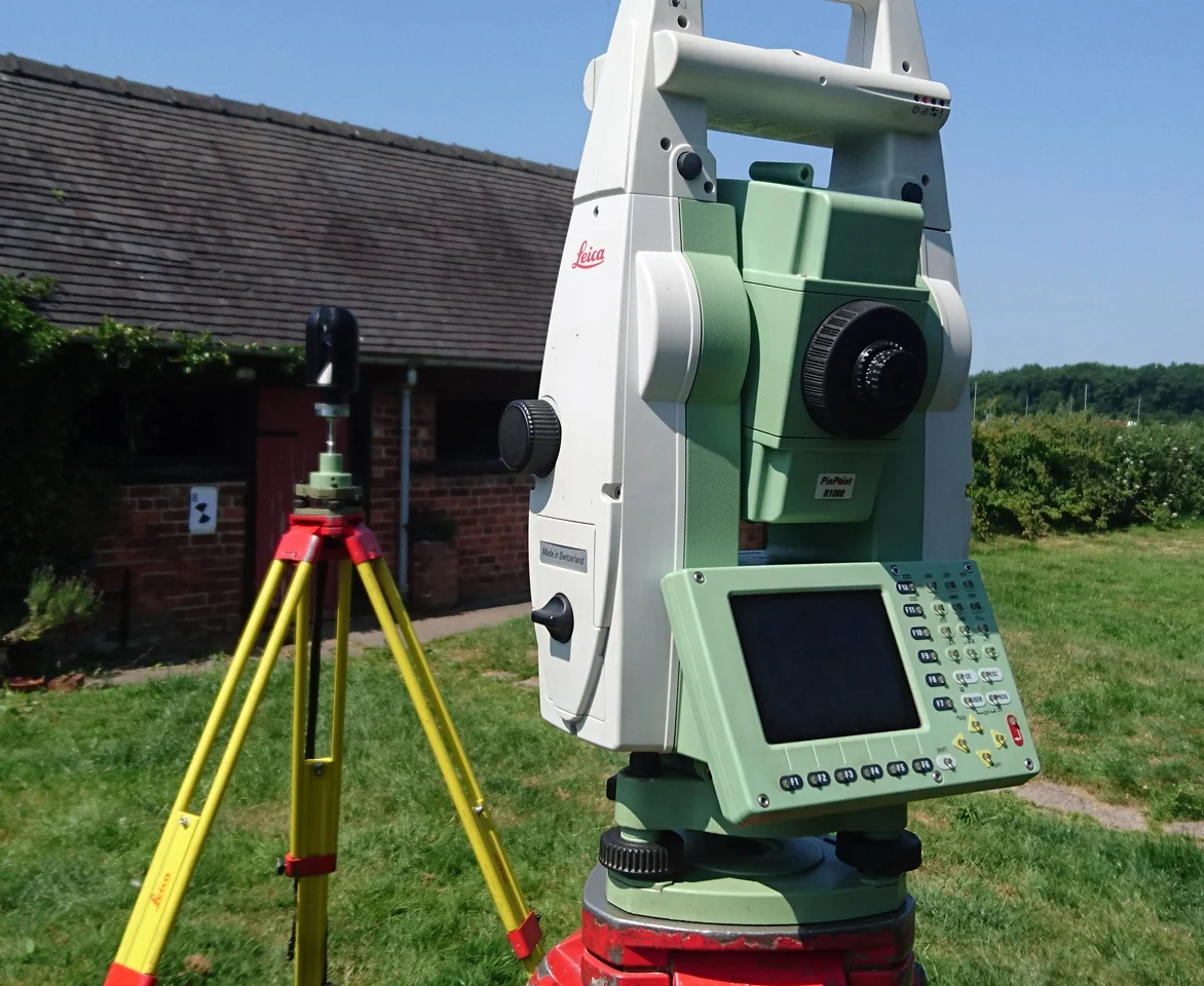
With the right survey information, you can start planning more efficient operations and economic land management. You can manage risks better and will find it easier to plan for the long term.
Accurate farm mapping can support better infrastructure planning, so you can position barns, silos, roads and fencing both correctly and efficiently. By understanding details of field and land levels as well as drainage ditches, rivers and streams on your land, you can improve your soil and water management. Good quality site plans will also help with land valuation and expansion for sales or leasing, as well as supporting loan and grant applications.
How we work
 Step 01
Request a quote
We’ll need your project’s address and a site plan. We’ll then get in touch for a consultation to confirm site details and understand exactly what your project needs.
 Step 02
Quote accepted
Once your project is confirmed with us, we’ll arrange a convenient date for your survey.
 Step 03
We complete your survey
We’ll visit your project site to carry out the survey. We can meet you on site if needed. We will then process the survey data and create a survey drawing.
 Step 04
Receive your survey
We’ll share the survey data with you, usually within a few days. We use industry standard file types and can issue all the drawings in multiple formats.


