What is a volumetric survey?
A volumetric survey provides reliable and accurate measurements of quantities of materials. Volumetric surveys for quarry operations, landfill monitoring and auditing, and construction projects are a vital tool in a range of industries.
Volumetric surveys are used to measure stockpiled, extracted or collected materials and aggregates. They provide volumes within mounds of material or the size of holes. They are calculated from a level survey carried out on site. While some sites need ongoing monitoring, other volume surveys like stockpile audits can be a one-off or take place less often.
Analyse volumetric measurements further with our digital terrain models. They support more cost effective planning and help to deliver accurate and faster groundworks.
Our surveying expertise and modern technology enables us to quickly and efficiently measure volumes of materials with accuracy. We provide you with fast and comprehensive data with detailed analysis about your site, so you can operate more efficiently. You’ll gain precise data on your material volumes that can help you monitor sites, manage costs and timelines, and plan future projects.
When can you need a volumetric survey?
Typical Uses
Who we work with


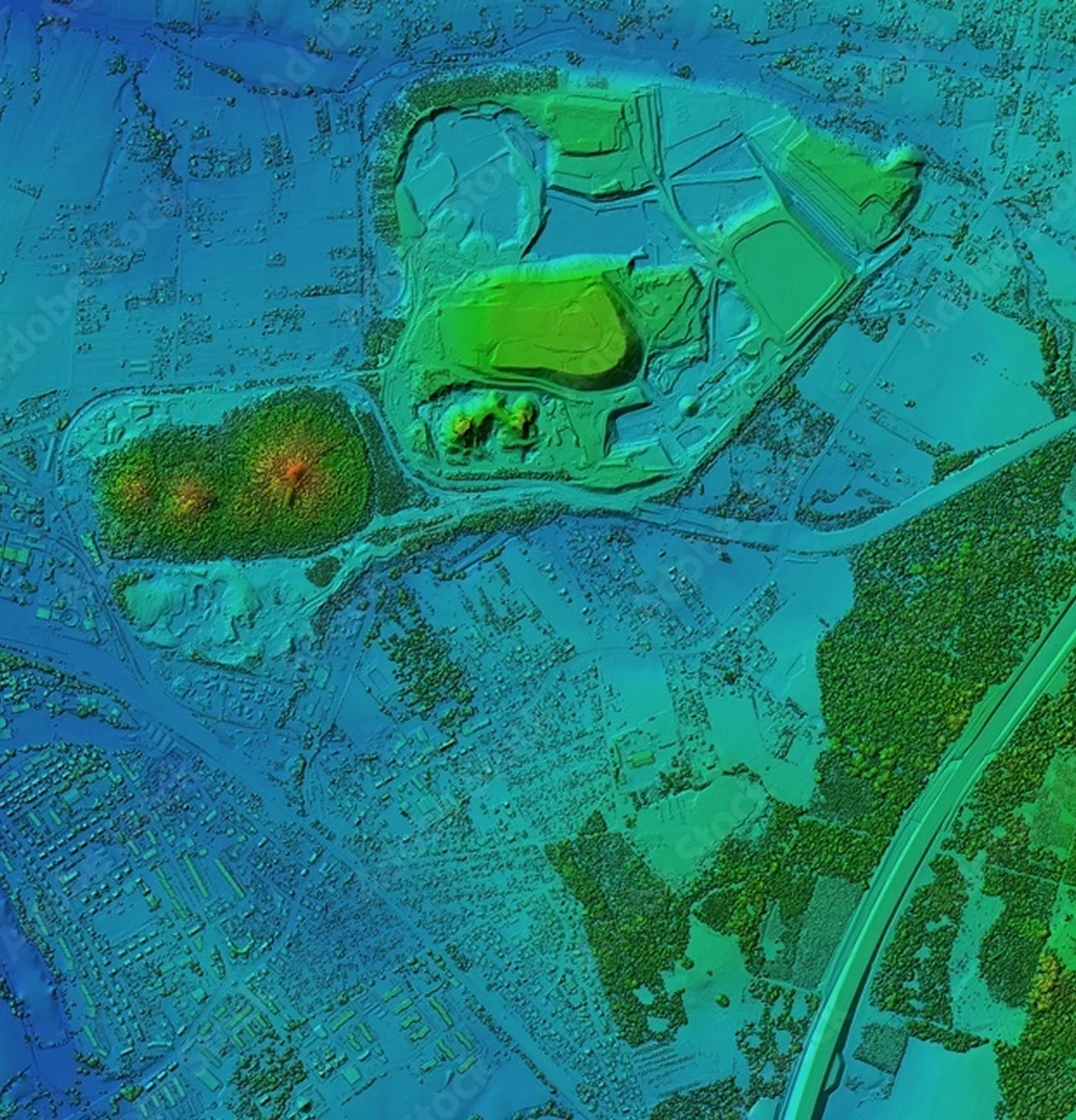
3D digital terrain models and volumetric surveys
What is a digital terrain model?
A digital terrain model (DTM) shows the shape of the land in a digital format. DTMs are made up of a grid of points with known heights. These points are used along with other digital data to create a 3D image of the site’s terrain.
Digital terrain modelling can be carried out for an existing site’s topography and also the proposed new levels. They are most applicable where extensive groundworks are proposed.
At the basic level our topographical surveys are provided in both 2D and 3D CAD formats. The 3D results show the surveyed points at their true level. We can use this to create a ground model of a site, or provide the 3D results for other professionals to create one.
Using our survey software, we can prepare a digital ground model of an existing site from a 3D topographical survey. We can also model the proposed groundworks for a new site’s finished levels, once the drawings are shared with us.
You can compare the existing site and the proposed plans. The data can be used for tasks like cost calculations or redesigning levels on site by making use of existing material. For example, you can explore the benefits of better zero waste or achieving a balanced cut and fill.
Groundworks contractors can use digital terrain models directly in machines fitted with machine control and GPS systems. These can include dozers, graders, excavators and scrapers.
The model of proposed groundworks is plugged into the machine. The operator can then use GPS-driven digital terrain models to carry out the ground levelling and site preparation, as well as foundation digs and road preparation.
Our expertise is utilised in the office rather than on site for the initial groundworks. Whilst the information is the same as if we had visited the site to perform setting out, it means the groundworkers can progress more quickly. It also simultaneously creates a record of what they have done.
How are volumetric surveys carried out?
All surveys involving volumes start with a level survey on site using a total station or GPS kit. This records what is currently on the site and forms the baseline for any analysis.
The highly accurate data captured on site will be used to provide volume calculations of mounds or holes. Our survey software calculates the volumes and we can provide this as a cut and/or fill analysis.
3D ground model & volume survey technology
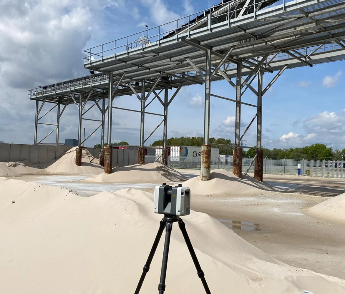
We carry out our volume surveys using state-of-the-art technology, including both total stations and laser scanners. We use specific survey software to prepare cut and fill analysis and digital terrain models. This enables us to fine-tune the ground model to match your project requirements, helping you to analyse the features effectively.
We issue all data as PDF drawings as well as providing CAD files, so you can analyse the data yourself or provide it to contractors for their cost analysis.
Speak to our experts
Get free advice or a quote from our experienced team.
We’re known for our reliable, quality service and attention to detail.

How accurate are volume surveys and DTMs?
Our surveyors are experienced with conducting volume surveys and creating digital terrain models for a variety of sites with different needs. Combining this experience with the latest modern surveying equipment, we can deliver highly accurate results.
The information we provide is the most accurate way of calculating volumes and levels. However, accuracy can be affected by the type of material surveyed and what we can get access to. The calculations are always based on what we have surveyed at a single point in time.
How long do you keep data on record?
The industry standard for keeping survey data is 7 years. However, we keep all your volumetric survey data and digital terrain maps in perpetuity. This ensures you can access them again should you need them for future projects. We recommend that you review your data every 3 years.

How we work
 Step 01
Request a quote
We’ll need your project’s address and a site plan. We’ll then get in touch for a consultation to confirm site details and understand exactly what your project needs.
 Step 02
Quote accepted
Once your project is confirmed with us, we’ll arrange a convenient date for your survey.
 Step 03
We complete your survey
We’ll visit your project site to carry out the survey. We can meet you on site if needed. We will then process the survey data and create a survey drawing.
 Step 04
Receive your survey
We’ll share the survey data with you, usually within a few days. We use industry standard file types and can issue all the drawings in multiple formats.
Why choose Cheshire Surveys
We provide a range of surveys and related services across the North West, Cheshire, North Staffordshire and North Wales.

Passion & technical expertise

25+ years experience

Quality services tailored to your project

Meet our team on site
More surveys we offer
 Topographical Surveys
Accurate, scaled plan of a site’s terrain, and a record of the position and levels of both manmade and natural features.
Measured Building Surveys
3D site survey of a building’s layout and structure that can also be used to produce floor plans, elevations and cross-section drawings.
As-Built Surveys
A fully up-to-date record of what has just been constructed, ensuring it matches the proposed plans. Useful for producing further plans that require an accurate site layout.
Boundary Surveys
Clearly understand your boundary lines, remove uncertainty around neighbouring land, and prevent disputes.
Floor Level Surveys
Quality survey check for various floor construction stages, from existing floors to newly constructed slabs.
Garden Surveys
Highly detailed, specialist topographical survey for garden landscaping and redesigns.
GPS Surveys
Ideal for covering large open spaces, like fields, or where access may be restricted or challenging.
Ground Investigation Services
Reliable and accurate location data for ground investigations like CBR tests, boreholes and trial pits. We record data and mark out investigation and monitoring points.
Movement Monitoring Surveys
Tracking and recording movement or alterations, such as crack monitoring and land movements, in either a built structure or a landform.
River & Floodplain Surveys
Surveys of riverbanks and beds, as well as adjacent floodplains. We record water levels and significant features for flood risk assessments and erosion monitoring.
Road Surveys
Comprehensive record of current road layouts and levels, including kerbs, street furniture and road markings. Ideal for visibility splays and new highways designs.
Setting Out
Geocordinated setting out services for building groundworks and steelworks for new housing, commercial and industrial sites.
Surveys for Land Registry Title Plans
Site surveys for creating Land Registry compliant plans to record areas of sale, transfer, correction or first registration.
Volumetric Surveys & Terrain Models
Measuring the total amount of stockpiled, extracted or collected materials and aggregates. Suitable for construction, calculating and auditing.


